The Chicago area will likely see its biggest snowfall of the season starting Monday, with a winter storm warning issued for most of the region.
Here's a breakdown of timing for the storm - when weather alerts take effect and what you can expect.
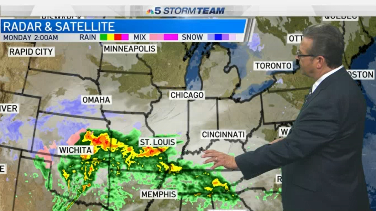
Monday morning
Monday started overcast, damp and cold but relatively dry with the potential for a few spotty pockets of light freezing drizzle or flurries. Winds will continue to increase as the system moves into the area.
Monday afternoon
The afternoon looks to be overcast and quite windy with light snow developing first in the area's southern counties. It could start off as a period of sleet or freezing rain in the far southern counties before spreading north.
At 1 p.m., a winter storm warning issued by the National Weather Service will take effect in DeKalb, Kane, LaSalle, Kendall and Grundy counties. That warning will run through 12 p.m. on Tuesday. In McHenry County, the warning will go into effect at 4 p.m. Monday and also expire at noon Tuesday.
In Lake, DuPage, Cook and Will counties, the warning will go into effect at 4 p.m. Monday and expire at 5 p.m. Tuesday.
A winter weather advisory also takes effect at 1 p.m. in Kankakee County in Illinois as well as Newton and Jasper counties in Indiana, and another at 4 p.m. in Will County in Illinois and Lake County in northwest Indiana, all lasting through 12 p.m. Tuesday.
All of the warnings and advisories warn of snow and mixed precipitation which will make for hazardous travel conditions and potential power outages due to the "expected wetter nature of the snow and strong and gusty winds."
A lakeshore flood advisory also takes effect at 4 p.m. in Cook and Lake counties in Illinois as well as in Lake County, Indiana. That advisory warns of minor to moderate lakeshore flooding due to large waves of 8 to 13 feet and high lake levels, according to the NWS. The advisory runs through 12 p.m. Tuesday.
Monday evening
The snow spreads northward by around 5 p.m. and will likely become moderate to heavy later in the evening.
A light icy mix is still possible in southern counties, with forecasts showing more freezing rain or sleet in the evening in areas like Kankakee County and northwest Indiana.
Strong winds of 20 to 30 mph continue with gusts reaching 35 and 40 mph. Low temperatures will drop into the mid to upper 20s.
Overnight Monday into Tuesday
Overnight, parts the southern portion of the region will likely see rain and sleet leaving the area but snow coverage remaining as the entire Chicago area continues to see widespread snowfall.
Tuesday morning and afternoon
Tuesday morning into the afternoon, the Chicago area will likely continue to see heavy snow with additional lake-enhanced snow showers. Forecast models show the snowfall diminishing by Tuesday afternoon or early evening.
Southern portions of the region, south of I-80 and northwest Indiana, will likely see more ice, reaching up to around .02 inches in Valparaiso and .06 inches near Kankakee, potentially as high as .1 inches.
Forecast models indicate this will be the biggest snowfall of the season, ranging from about 4 to 7 inches, with localized pockets possibly reaching 8 inches, but far southern portions will see significantly less, more like 2 to 3 inches.
"What" - Google News
January 26, 2021 at 12:19AM
https://ift.tt/3oiCxJF
Chicago Snowstorm: Timing and What to Expect - NBC Chicago
"What" - Google News
https://ift.tt/3aVokM1
https://ift.tt/2Wij67R
Bagikan Berita Ini


0 Response to "Chicago Snowstorm: Timing and What to Expect - NBC Chicago"
Post a Comment